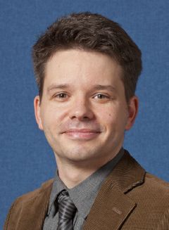
Mr. David Griffiths, MSc

David is a Ph.D candidate currently working on image and point cloud segmentation/classification using machine learning techniques. This includes of photogrammetrically derived data from Unmanned Aerial Vehicles (UAVs), as well active sensors such as Terrestrial Laser Scanners (TLSs) and Mobile Mapping Systems. The research looks at the potential of deep learning (and in particular convolutional neural networks) for understanding these data sets. David’s main academic interests include; computer vision and photogrammetry, and in particular the application of combining the two disiplines..

Dr. Jan Boehm, Ph.D

Jan Boehm's research focuses on photogrammetry, image understanding and robotics. With his background in Computer Science he wants to bridge the remaining gap between photogrammetry and computer vision. The latter provides key components to increased productivity in the geomatic processing pipeline. In past projects he already successfully leveraged the productivity in terrestrial laser scanning by introducing automation to georeferencing by direct georeferencing, automated registration using intensity features and automated modelling strategies.

Relvant research

Griffiths, D and Boehm, J., 2019. A Review on Deep Learning Techniques for 3D Sensed Data Classification. Remote Sensing (Vol. 11, No. 12, pp1499).

Griffiths, D. and Boehm, J., 2019. Weighted Point Cloud Augmentation for Neural Network Training Data Class-Imbalance. Int. Arch. Photogramm. Remote Sens. Spatial Inf. Sci., XLII-2/W13, 981-987. ISPRS - International Archives of the Photogrammetry, Remote Sensing and Spatial Information Sciences

Griffiths, D. and Boehm, J., 2019. Improving public data for building segmentation from Convolutional Neural Networks (CNNs) for fused airborne lidar and image data using active contours. ISPRS Journal of Photogrammetry and Remote Sensing, 154, pp.70-83.